HOME
FISHING
LODGING
THINGS TO DO
FREE INFO
Ozark Mountains
Bull Shoals Lake
Norfork Lake
Buffalo River
Mountain Home
HOME
FISHING
LODGING
THINGS TO DO
FREE INFO
White River Fishing Reports & Information
FISHING REPORT
Fishing Report & River Conditions
Cotter Trout Dock Fishing Report
CLICK FOR LIVE
RIVER CAM
FISHING GUIDES
WHITE RIVER OUTFITTERS
WEATHER
COTTER WEATHER
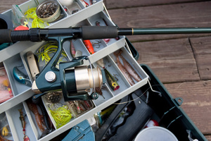
FISHING ARTICLES
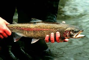
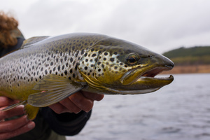
White River Trout Fishing Information
Beginners, Children, & Women WelcomeAlmost all trout ...
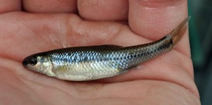
How To Fish Minnows For Larger High Water Trout
Shiner minnows can be fished any time of year, i...
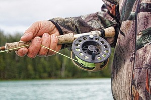
FLY RECOMMENDATIONS FOR THE WHITE RIVER
The following information on fly patterns, etc. is ba...
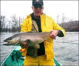
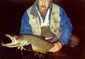
Arkansas, Home of the Monster Browns
IN 1941, LIFE MAGAZINE FEATURED A cover story on one ...
Winter Shad Kills - A Trout Fishing Dream Come True
Every so often in Nature, the right conditions come t...
Arkansas Fishing Regulations
...
Successfully Fly Fishing High Water
When lake levels rise due to heavy spring rains high ...
On the Fly with Dale Fulton
Beadhead Woolly Bugger, Standard Woolly Bugger, Sow- ...
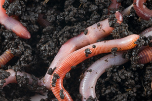
Meeks Chooses a Durable Bait
Nightcrawlers get the nod in tailwater known for ledg...
WATER LEVELS & INFO
LOCAL REPORTS
ARKANSAS FISHING INFO
‹
›
×

 FISHING GUIDES
 WHITE RIVER OUTFITTERS